Using Data to Assess the Feasibility of a New Road in Monrovia
Freight movement is inherently multimodal. Vessels bring goods to trucks and vice versa as people move raw materials and finished products terrific distances. If any part of the logistics chain is weak or broken, the system shuts down. Economies—and citizens—suffer in turn.

For a developing nation like Liberia, the free flow of goods into and out of its largest port, Freeport of Monrovia, is critical to maintaining economic buoyancy.
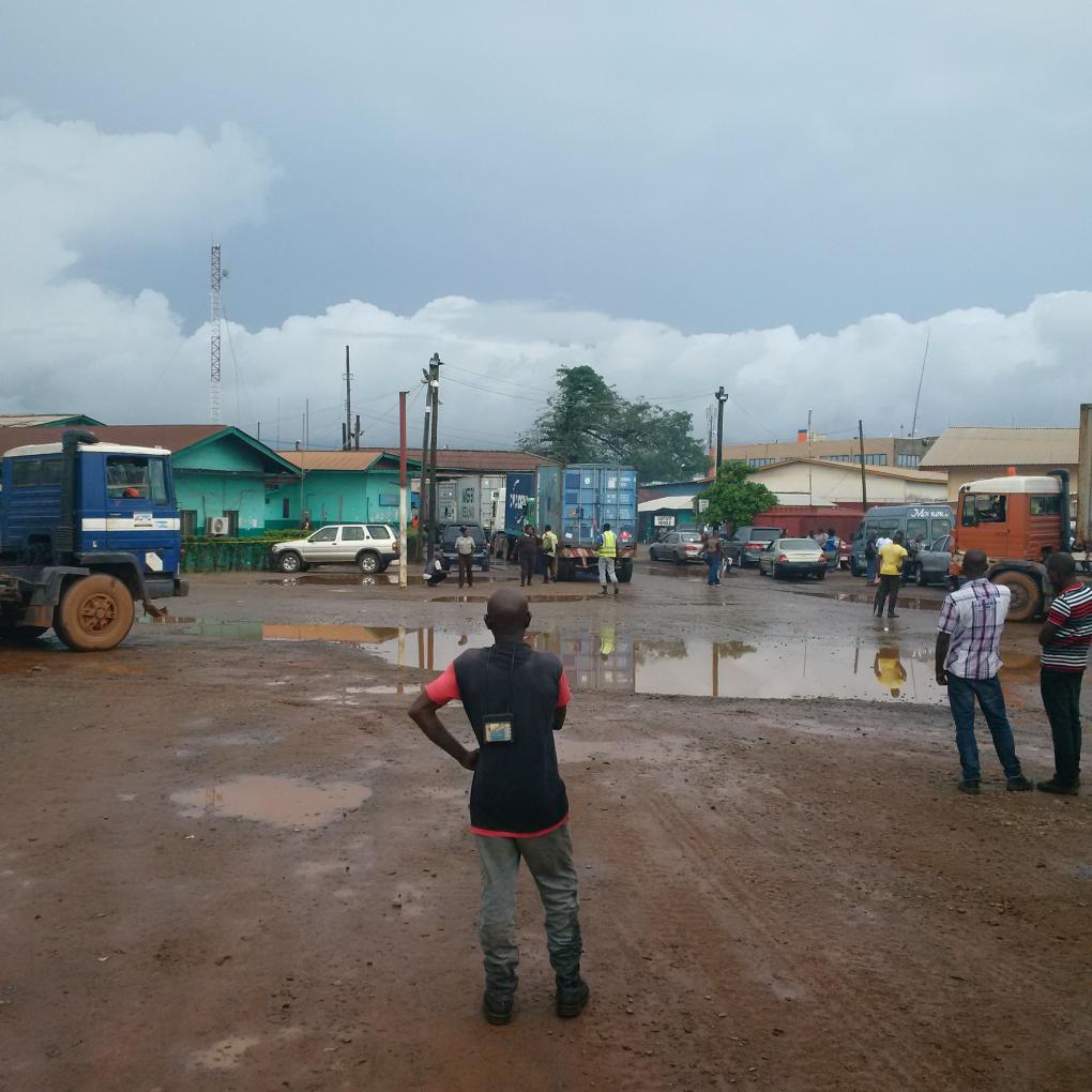
Ships carrying rubber, oil, and food move in and out of that port relatively easily. But with only two paved roads to the port, the other main part of the logistics chain—truck freight—is often besieged by thick traffic, flooded roads, and a lack of quality infrastructure.
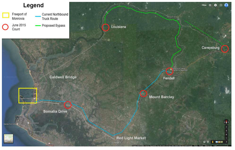
Through an interagency agreement, the U.S. foreign aid agency Millennium Challenge Corporation (MCC) has contracted with Volpe to help assess the feasibility of an alternate route to points north and other transportation options for Liberia.
In support of this work, Volpe community planner Brian Dechambeau and communications specialist Liz Joyce traveled to Liberia’s capital, Monrovia, to conduct traffic counts and quantify goods movement problems. During Liberia’s rainy season, which generally goes from April to October, flooded roads exacerbate existing infrastructure challenges.
“A lot of the trucks coming out of the port to deliver and pick up goods all go on one of the two roads,” Joyce said. “That road goes through different markets and traffic is very heavy. During the rainy season, the conditions create even more traffic.”

A satellite image of the roadways in western Liberia showing the proposed bypass.
Dechambeau and Joyce spent the first days of June conducting surveys at the port and monitoring traffic at key points along freight arteries. During one of their surveys, they interviewed 78 truck drivers entering and leaving the port; two-thirds said they would choose an alternate road if one were built.
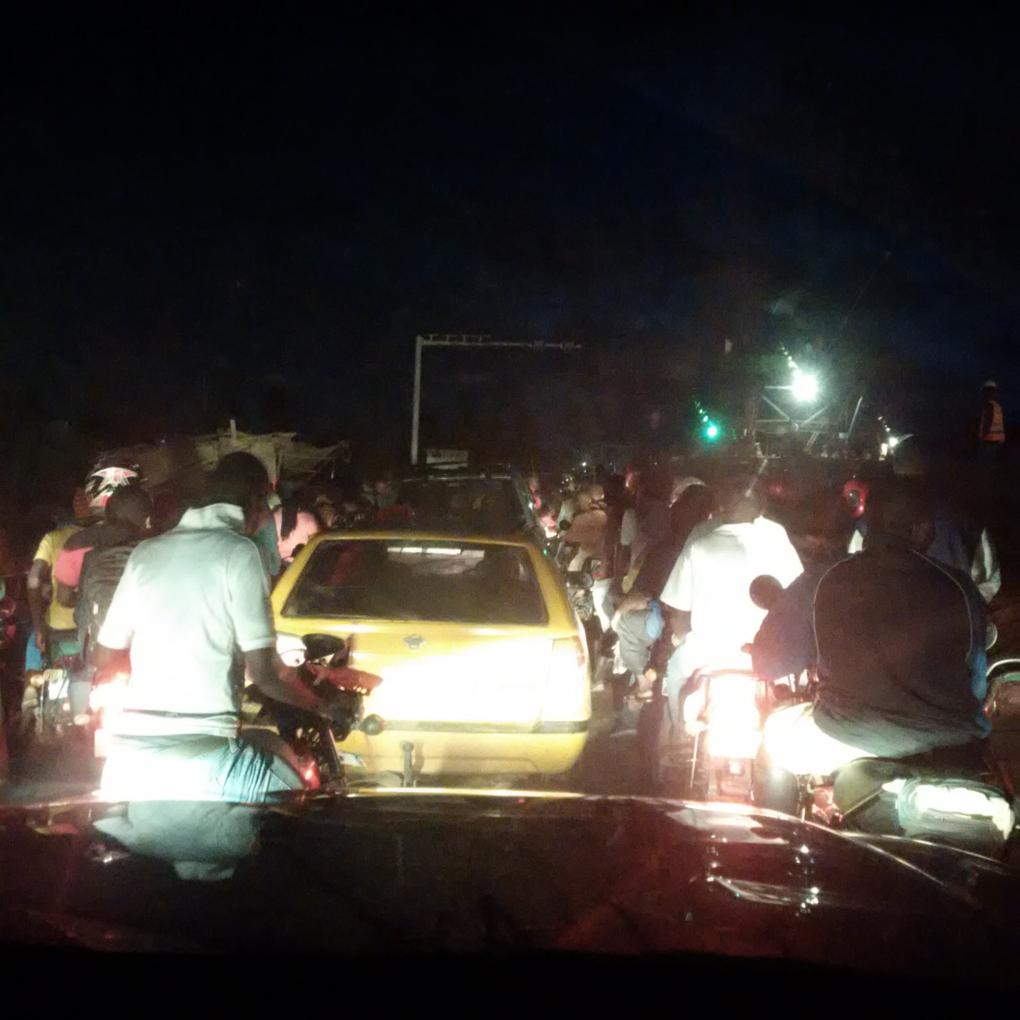
“Because there are only two paved roads out of Monrovia, no one drives on them unless they live along them or have to, to reach the port,” Dechambeau said. “Coming back from a survey site, I got stuck in traffic for five hours on a stretch of road that normally should have taken an hour or so.”
With tally counters duct taped to clipboards, Dechambeau and Joyce sat along paved and unpaved roads and counted motorcycles, buses and taxis, cars, and commercial trucks. When traffic slowed, they passed time with their driver escorts from the U.S. embassy in Monrovia. They sat on porches along the routes and shared tea and fried plantains in pepper sauce with residents.
 In a 24-hour period, Dechambeau and Joyce tallied roughly 10,000 cars on one of the major roads that connects to the port. They also conducted subsequent 6-hour traffic counts at other points on the truck freight route. Using those first-hand traffic counts, Volpe staff extrapolated the average yearly traffic flow along the two paved roads. MCC will take the data and perform further analysis leading to a final decision on whether to fund a new bypass road.
Volpe principal technical advisor for transportation planning William Lyons and community planner James Andrew are continuing MCC’s work in Monrovia. Lyons and Andrew recently met with officials from the Liberian government to assess future work conducting an inventory of Liberia’s road network and assessing the current state of road maintenance in Liberia.
